

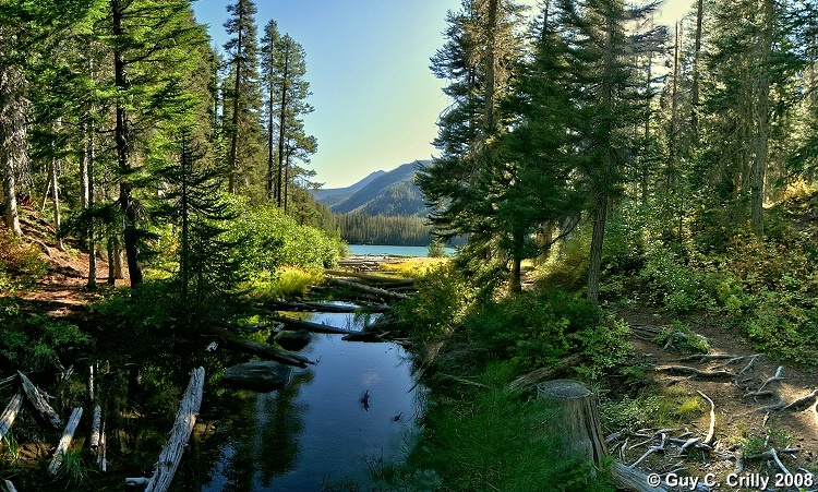
Myrtle Lake
This is actually a 14 shot panorama from trail #1404 as it heads into Myrtle Lake, 4 miles in from the trailhead at the end of Entiat River Road, Washington. Taken with a vertically handheld DSLR set at ISO 400 and f/8 using a wide-angle zoom lens (12 to 24). Then to bring out the shadow detail I converted the LDR (Low Dynamic Range) image to a HDR (High Dynamic Range) image. Entered into the “Nature & Landscapes” category and shared with the BetterPhoto Club: “Photographing the Northwest -- Hiking Club.”
GPS: Approximate location, latitude 48° 03' 27.58" N, longitude 120° 42' 10.53" W.
Uploaded on October 01, 2008